
Trace a Troy Street Address
For a current Troy street question, begin with the address rather than a broad name search. City assessment records tie the street address to a parcel identifier and an owner name on a particular roll. The parcel map then shows where that lot sits among nearby parcels. A recorded deed supplies the transfer trail and legal description. Historic directories can add a period name at the number, but they are not title records. This sequence keeps each source in its proper role and makes it easier to spot an old street label or an owner mailing address that differs from the property location.
- Enter the address in City of Troy PROS. Save the SBL, the situs address, owner name, assessment year, and map link shown on the result.
- Open the parcel in the Troy GIS viewer. Use the map to see parcel geometry and municipal context, not to infer who occupies a building.
- Use the SBL or current owner to locate the recorded instrument through the County Clerk route. Read the deed image or obtain the Clerk record before relying on an index entry.
- For a past household, use the annual directory or the address-first House Directory, then compare the year, building number, and street guide.
- Use the voter portal only for the registered voter’s own status. It is not a public street-by-street roster.
That order answers a narrow question well: property record first, document trail second, period directory third. It also avoids treating a deed owner, map label, or directory listing as proof of every person connected with a Troy street.
Search Troy PROS by Street
City PROS is the primary current parcel starting point for this Troy street directory. Its Quick Property Search presents three fields in a fixed visible order. The portal advises using one criterion when possible, so an unsuccessful address attempt should be followed by a separate SBL or owner-name attempt instead of piling all values into one search. The result path can lead to assessment information, property inventory, and comparable sales. A Request Change link concerns inventory corrections. It does not change a deed or establish title.
| PROS field | Type | When to use it | Caveat |
|---|---|---|---|
| SBL | Text | Use alone when the parcel identifier is known. | It leads directly to a parcel card. |
| Address | Text | Use the street address to locate a situs record. | Exact and partial matching behavior was not exposed in the reviewed form. |
| Owner Name | Text | Use the roll name as an owner-to-parcel lead. | Partial-name behavior was not verified in the reviewed form. |
The City PROS search is shown below in the assigned capture. A parcel result should be dated to its assessment roll and compared with the recorded deed when a transfer matters.
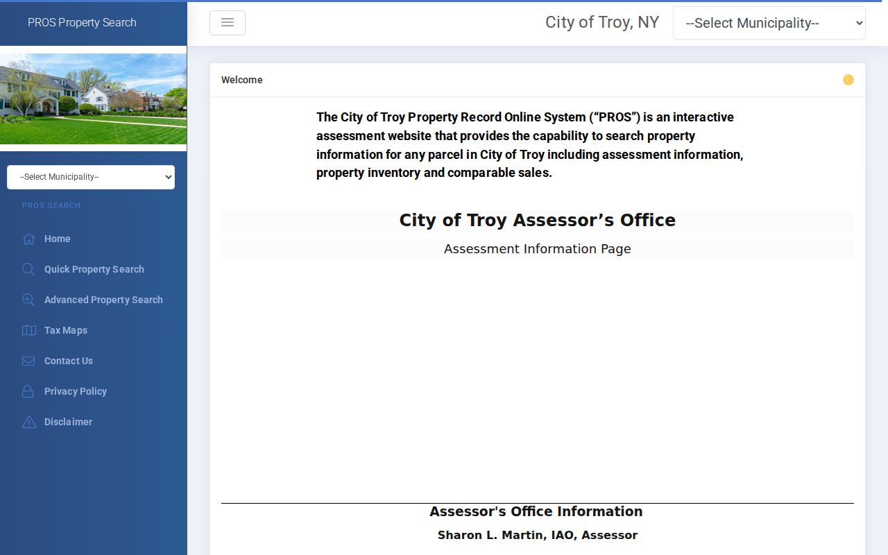
The visible search choices support an address, SBL, or owner lead. Preserve any owner mailing address separately from the situs address, because the two can describe different places.
Troy Street Record Coverage
Street records in Troy do not form one universal list of residents. Each record set answers a different part of the question. The City Assessor and PROS show the current assessment relationship. The County Clerk holds recorded land instruments. GIS supplies spatial context. Directories supply period address listings. City code and property channels can identify a file to request, but an applicant or owner name in such a record is not automatic evidence of residence.
| Address-keyed record | Custodian or route | Useful clue | Access path |
|---|---|---|---|
| Assessment parcel | City PROS and City Assessor | SBL, situs, roll owner, assessment year | Online portal or assessor counter |
| Tax map | City PROS TaxMap and county maps | SWIS, section, sub-section, map view | Online index, PDFs, tax-map staff |
| Recorded land instrument | Rensselaer County Clerk | Parties, date, legal description, instrument key | NY Land Records, Records Room, older books |
| Parcel geography | Troy GIS and state parcels | Lot geometry, zoning, city limits, infrastructure | Interactive map or GIS assistance |
| Historic address entry | Troy Public Library and Hart Cluett | Name, number, ward, street guide, removals | Directories, microfilm, research collections |
For permit or code material, use the City’s Property Resources or Code Enforcement route and, where needed, a focused municipal FOIL request. The request should seek identified records, not ask an office to solve an address-history question.
Note: A code or permit file can name an applicant or owner, but that role does not establish current residence at the address.
Read Troy Street Parcel Terms
Several short labels prevent a common error in street research. A parcel card can carry both a property address and a separate address for the owner. A map can show a boundary without proving title. A deed may use a legal description that is steadier than a changing street label. Keeping the labels exact makes a Troy street search easier to reproduce later.
- Parcel
- A tax-assessment unit identified on a roll and map. It is not a list of every person associated with the address.
- Situs address
- The physical property address recorded for the parcel. It can differ from the owner’s mailing address.
- Plat or tax map
- A map reference showing lots, sections, and boundaries. It helps connect the visual block to the parcel key.
- House Directory
- The Troy address-first directory format used from 1915, useful for a period name at a building number.
Note: Record the municipality, SWIS, section, and SBL together so that a later map, assessment card, or recorded instrument can be reconciled.
Inspect Troy GIS Street Layers
The City of Troy GIS web map is a spatial check after PROS returns an address or SBL. The reviewed viewer and its public MRB alternative expose BellCAD Parcels-Troy, City Limits, ETJ, City of Troy Zoning, and water and sewer infrastructure layers. Streetview, distance and area measurements are available map tools. Those layers can show why a parcel appears near a municipal edge or which lots are visually adjacent, but the viewer warns that its information is for reference and is not guaranteed complete or accurate.
The County land-record entry point is shown in the assigned Troy street directory capture because it makes the county route visible. Use the source name, map date where available, and selected parcel identifier in notes, then verify ownership through the assessment or Clerk record.
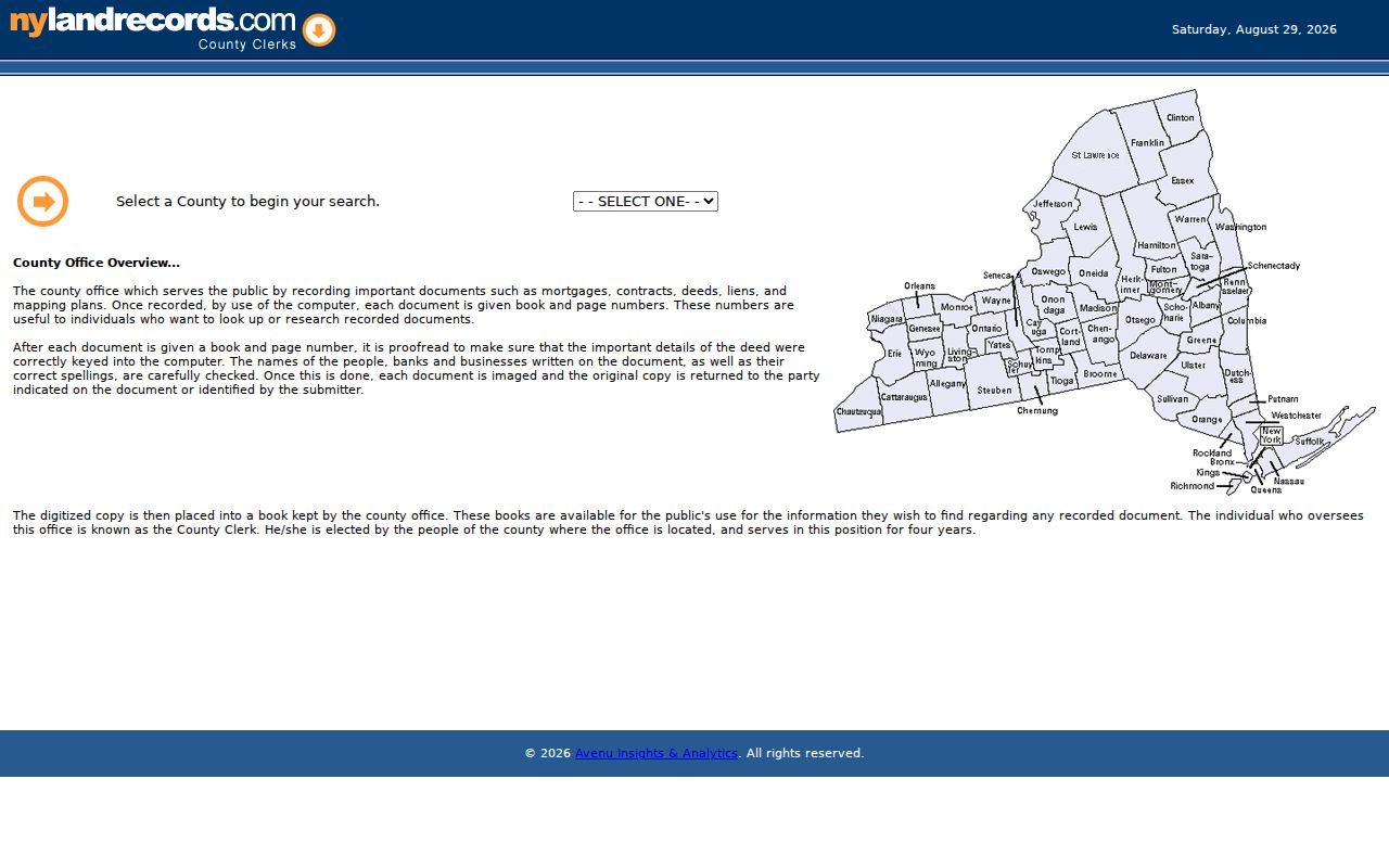
The County’s referenced land-record entry point complements the map. It is the route for the instrument trail, while GIS remains the route for parcel position and nearby geometry.
Note: Keep the map layer name and capture date with a GIS observation, since the viewer is a reference tool rather than a survey.
Use Troy SWIS 381700 Maps
When a street address is unclear, the Troy TaxMap index offers a more structured map route. Its visible controls are Municipality, Section, Sub-Section, Search, and Clear Filters. Results expose a SWIS value, section-subsection, and a View action. Troy is identified as SWIS 381700. That key helps distinguish the City of Troy assessment context from a nearby place with a Troy mailing label.
County tax-map material is a second check. The county’s 2026 tax-map page states that its current map data was as of March 1, 2026 and was updated March 31, 2026; Troy map sheets are split among several section ranges. A tax map organizes block and parcel references, while GIS is the navigable view. Compare both if the city index does not make the street-to-section connection clear.
Follow Troy Street Deed Records
The Rensselaer County Clerk Records Room is the official recording center for deeds, mortgages, and related land instruments. Begin with the current SBL and roll owner from PROS. Search the owner as grantee in the county land-record index, inspect the current deed for the grantor and instrument key, then move backward through the grantor side. Retain the recording date, deed type, parties, legal description, parcel references, and image status at each step. A grantor conveys an interest; a grantee receives it.
NY Land Records is the online route identified by the County Clerk and Hart Cluett. The researched availability schedule lists real-property data and images from 1989 forward. For 1973 through 1989, the online index books are described as grantee data only. Older books, the Clerk Records Room, library repositories, and FamilySearch film references can be needed for the earlier trail. That 1989 image route versus older index route is a useful comparison, not a reason to assume a missing online image means no deed exists.
Note: Preserve the recording key and legal description before moving backward, because either can distinguish similar Troy property names.
Use Troy’s 1915 Address Pivot
Troy’s local directory evidence changes shape in 1915. Troy Public Library reports nearly complete city directories from 1829 forward, while Hart Cluett describes its collection as 1832 to 1999. Through 1914, a name-first directory and street guide are the usual route. From 1915, the House Directory makes a building number the starting point. Search the number and street, then check the annual name directory and the ward or street guide for the same year.
This is the local quirk that makes a Troy street directory more useful than a simple surname list. Directory entries can include address, occupation, ward, street guide material, and removals. The Troy Room’s microfilm drawers include directories from 1829 to 1974, census material, and Sanborn maps; its guide notes two viewer-printers and a 25-cent per-page charge. Historical volumes and shelf access are described on the Troy city directory collections page.
Read Lansingburgh Within Troy
A historic street record can use Lansingburgh even though the present parcel lies in Troy. The independent village was laid out with a rectangular grid, blocks, streets, alleys, and a central green in 1770, expanded by 1788, and was annexed to Troy in 1900. Search both place names in older directories, deeds, maps, and newspapers. The Central Lansingburgh Historic District also gives context for records around 110th through 120th Streets, where village-era language may appear beside current Troy jurisdiction.
That history explains a changed municipal label. It does not create a conversion table for every address. The 2024 city technical study is the best local context for the transition, and a deed’s legal description, map section, and period directory entry should be compared before joining two similar-looking street references.
Check Troy Street Postal Labels
A Troy postal label and a Troy municipal parcel are not always the same thing. USPS facility material associates 12182 with Lansingburgh and 12183 with Green Island, while the latter is an Albany County municipality in the postal-area context. First run an exact address through USPS, then test it in City PROS and county PROS, check the SWIS value, and inspect City Limits in GIS. Keep the postal and municipal results as separate fields.
This comparison is especially useful for a street near a boundary. It identifies the correct assessment and Clerk route without inventing a street-by-street ZIP boundary. More detail about that postal layer appears in the Troy ZIP code directory.
Test Troy Street Number Changes
No complete official citywide renumbering or renaming crosswalk was found in the research. Treat an apparent number change as a question to test, not a fact to repeat. Compare the annual directories, tax map or legal description, Sanborn sheet, and recorded deed. Rensselaer Street’s October 2023 shift from one-way to two-way traffic is a current travel change, not a citywide renumbering record.
For a pre-1915 address, work outward through the ward and street guide and test nearby directory years. For a later address, start at the House Directory. A 1903-04 Sanborn sheet or the 1881 bird’s-eye map can place a structure on the period block, but it cannot establish who occupied it.
Note: Retain the source’s original street wording before assigning a modern equivalent, especially around the Lansingburgh historical transition.
Respect Troy Street Privacy Limits
A street directory can document roles that a source actually records, such as assessed owner, deed party, or period directory entry. It cannot supply a complete household census, and neither a parcel owner nor a nearby map polygon establishes present occupancy. The New York voter lookup requires county, name, date of birth, and ZIP for a registered voter’s own status check. Individual voter records are controlled, and qualifying confidential voter records are maintained separately.
When evidence conflicts, preserve the source role and date rather than forcing a single answer. A Clerk instrument can confirm a recording event, an assessment card can confirm a roll entry, and a directory can confirm a printed period listing.